Property Record
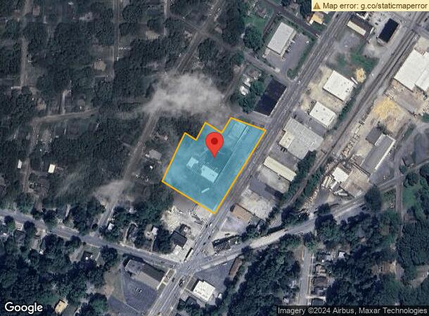
1431 N Broad St Ne, Rome, GA 30161


NEARBY LISTINGS FOR SALE OR LEASE
Property Detail
1431 N Broad St Ne
J13J-151
LL235 23/3
Stripcommercialcenter
Floyd
X
Georgia
13115C0193E
3 AC
2024
Georgia Northwest
2024
Other Market Areas
000600
Rome, GA
28,683 SF
DEMOGRAPHICS near 1431 N Broad St Ne
1 Mile
3 Mile
5 Mile
2024 Total Population
3,897
28,714
58,957
2029 Population
4,062
29,653
60,541
Pop Growth 2024-2029
+ 4.23%
+ 3.27%
+ 2.69%
Average Age
39
38
38
2024 Total Households
1,590
10,917
21,789
HH Growth 2024-2029
+ 4.15%
+ 3.54%
+ 2.82%
Median Household Inc
$34,090
$46,936
$56,436
Avg Household Size
2.30
2.30
2.50
2024 Avg HH Vehicles
1.00
2.00
2.00
Median Home Value
$161,904
$191,986
$179,595
Median Year Built
1952
1965
1973
Nearby Places
Map Layers
Map Styles
 Street
 Aerial
- Restaurants
- Banks
- Shops
- Fitness
- Groceries
SALE & LEASE HISTORY
LISTING DATE
SALE/LEASE

Sep 25, 2016
For Lease
Sep 23, 2016
For Sale
Nov 28, 2023
For Sale
Feb 08, 2022
For Sale
Apr 22, 2024
For Lease
Nearby Properties
Address
Land Use
TOTAL SIZE
Lot Size
Zoning
Address
Land Use
TOTAL SIZE
Lot Size
Zoning
136,498 SF
9.23 AC
O-I
Address
Land Use
TOTAL SIZE
Lot Size
Zoning
1 SF
767.46 AC
O-I
Address
Land Use
TOTAL SIZE
Lot Size
Zoning
18.34 AC
O-I
Address
Land Use
TOTAL SIZE
Lot Size
Zoning
108,547 SF
1.54 AC
U-M-U
Address
Land Use
TOTAL SIZE
Lot Size
Zoning
20,532 SF
16.56 AC
C-C
Address
Land Use
TOTAL SIZE
Lot Size
Zoning
4,394 SF
14.26 AC
Address
Land Use
TOTAL SIZE
Lot Size
Zoning
30,991 SF
8.94 AC
Address
Land Use
TOTAL SIZE
Lot Size
Zoning
141,680 SF
6.27 AC
U-M-U
Address
Land Use
TOTAL SIZE
Lot Size
Zoning
57.50 AC
O-I
Address
Land Use
TOTAL SIZE
Lot Size
Zoning
5,386 SF
30.65 AC
C-C
Address
Land Use
TOTAL SIZE
Lot Size
Zoning
54,817 SF
8.82 AC
C-C
Address
Land Use
TOTAL SIZE
Lot Size
Zoning
83,971 SF
0.29 AC
Address
Land Use
TOTAL SIZE
Lot Size
Zoning
75,156 SF
7.10 AC
O-I
Address
Land Use
TOTAL SIZE
Lot Size
Zoning
3,416 SF
13.87 AC
C-C
Address
Land Use
TOTAL SIZE
Lot Size
Zoning
52,321 SF
Address
Land Use
TOTAL SIZE
Lot Size
Zoning
45,492 SF
7.76 AC
C-C
Address
Land Use
TOTAL SIZE
Lot Size
Zoning
47,541 SF
5.24 AC
O-I
Address
Land Use
TOTAL SIZE
Lot Size
Zoning
137,726 SF
12.51 AC
C-C
Address
Land Use
TOTAL SIZE
Lot Size
Zoning
59,796 SF
Address
Land Use
TOTAL SIZE
Lot Size
Zoning
30,267 SF
7.20 AC
C-C
Address
Land Use
TOTAL SIZE
Lot Size
Zoning
59,082 SF
8 AC
C-C
Address
Land Use
TOTAL SIZE
Lot Size
Zoning
19.64 AC
Address
Land Use
TOTAL SIZE
Lot Size
Zoning
89,250 SF
7.05 AC
C-C
Address
Land Use
TOTAL SIZE
Lot Size
Zoning
42,440 SF
4.30 AC
C-C
Address
Land Use
TOTAL SIZE
Lot Size
Zoning
6,998 SF
15 AC
M-R
Address
Land Use
TOTAL SIZE
Lot Size
Zoning
11.84 AC
Address
Land Use
TOTAL SIZE
Lot Size
Zoning
61,577 SF
1.31 AC
C-C
Address
Land Use
TOTAL SIZE
Lot Size
Zoning
1,438 SF
16.05 AC
M-R
Address
Land Use
TOTAL SIZE
Lot Size
Zoning
6.35 AC
M-R
Address
Land Use
TOTAL SIZE
Lot Size
Zoning
2.62 AC
C-B-C
The World's #1 Commercial Real Estate Marketplace
Connect with us
© 2025 CoStar Group
The information above has been obtained from sources believed reliable. While we do not doubt its accuracy we have not verified it and make no guarantee, warranty or representation about it. It is your responsibility to independently confirm its accuracy and completeness. Any projections, opinions, assumptions, or estimates used are for example only and do not represent the current or future performance of the property. The value of this transaction to you depends on tax and other factors which should be evaluated by your tax, financial, and legal advisors. You and your advisors should conduct a careful, independent investigation of the property to determine to your satisfaction the suitability of the property for your needs.